
Joyful Illustrated Maps that hold people’s attention.
Show what’s special about a place or experience, or tell a story about your business, attraction or event, with an illustrated map that’s packed full of personality.
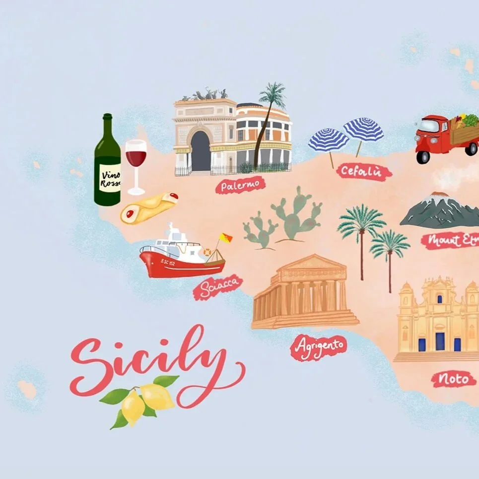
Why commission an illustrated map?
To communicate practical information but keep it fun and engaging.
1
A versatile marketing asset that works across print and digital.
2
To bring lots of elements together like buildings, food, drink and nature, into a single experience.
3
How I create an illustrated map
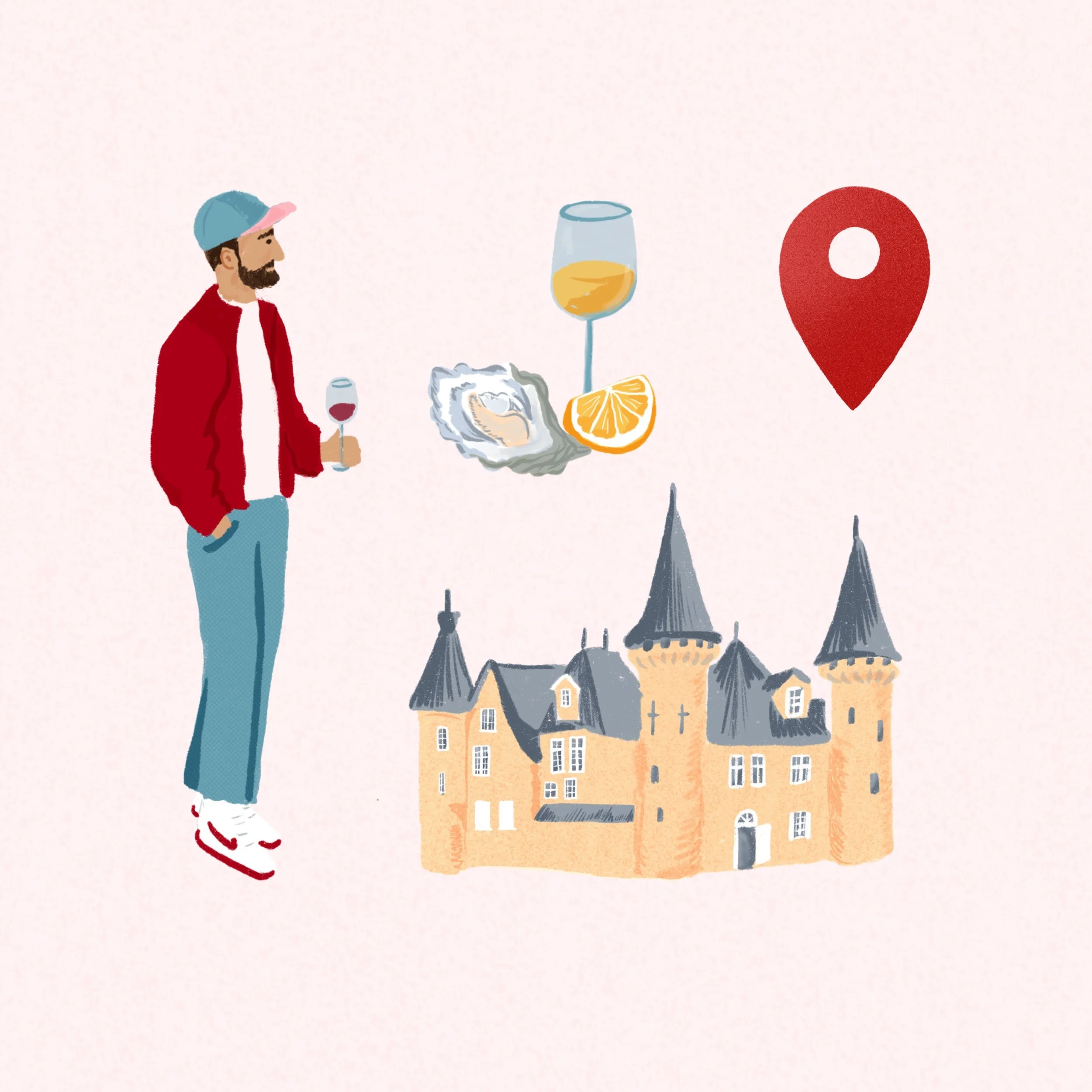
It all starts with the brief
We’ll discuss what you’re needing your illustrated map to communicate and to who. We’ll think about:
How will the map be used, who does it need to appeal to?
What geographical area does it need to cover
Which places and experiences will be featured
Any brand guidelines and colour palettes we need to consider
The map title and what needs to be labelled
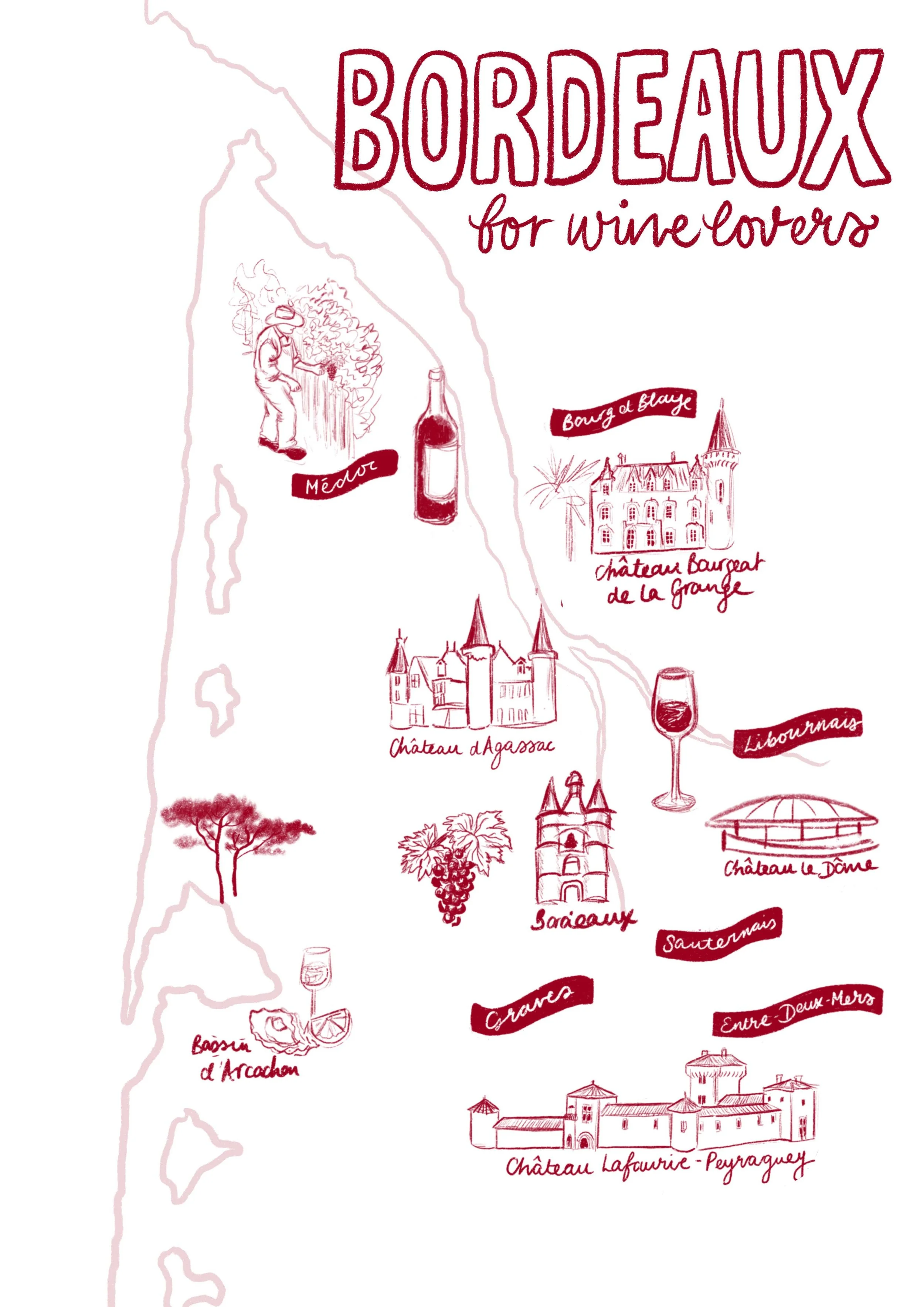
Initial sketch
I’ll send you a black and white outline sketch so you can check you’re happy with the layout and how the individual elements of the map will be illustrated.
You’ll have the opportunity to feedback before we move on to the colour stage.
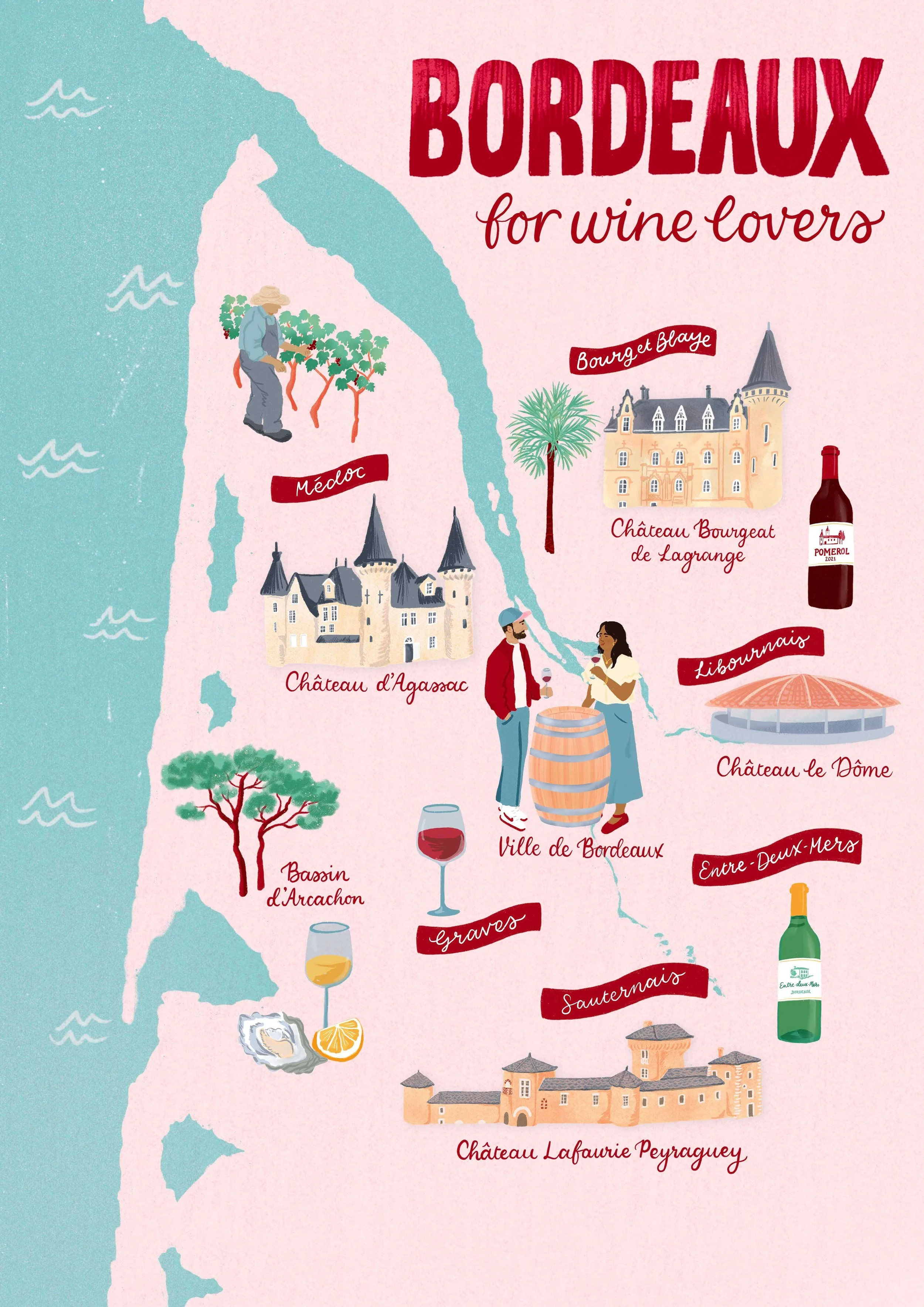
Bringing your map to life
I’ll curate a colour palette that works for the mood you want to set, incorporating and complementing your brand colours as required.
The full colour version will be shared with you for final feedback, before delivering your map files ready for use.
If you have a destination or experience that you’d like to celebrate with an illustrated map, I’d love to chat about how we could make it happen.
Mini Case Study
Bringing a Carnival Route to Life
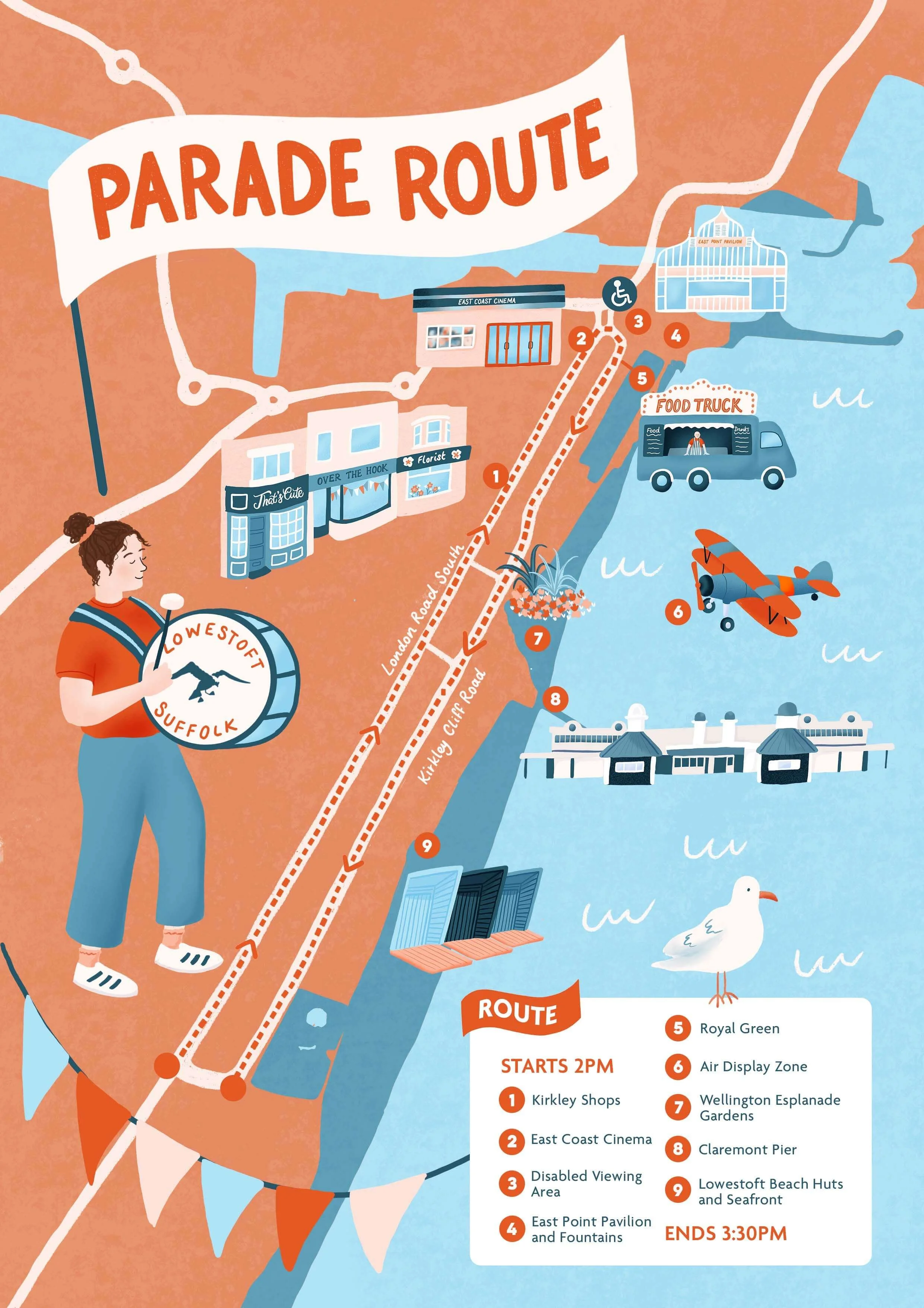
After a break of nearly a decade, arts organisation Seagull Theatre revived the Lowestoft Carnival and commissioned me to create an inspiring map that would capture the fun of the event, while also providing practical information on the carnival route and timings. The map featured key landmarks along the parade route and some of the specific activities and facilities that would be available on the day.

Want to see the maps I’ve drawn
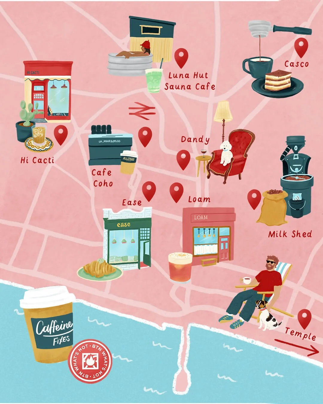
My maps are illustrated in a family friendly style: keeping it warm, inviting and fun, while making sure it works for the intended purpose. I’ve created maps for shopper campaigns, visitor attractions, carnivals, activity trails and more.
Mini Case Study
Stop Scrolling. Start Strolling
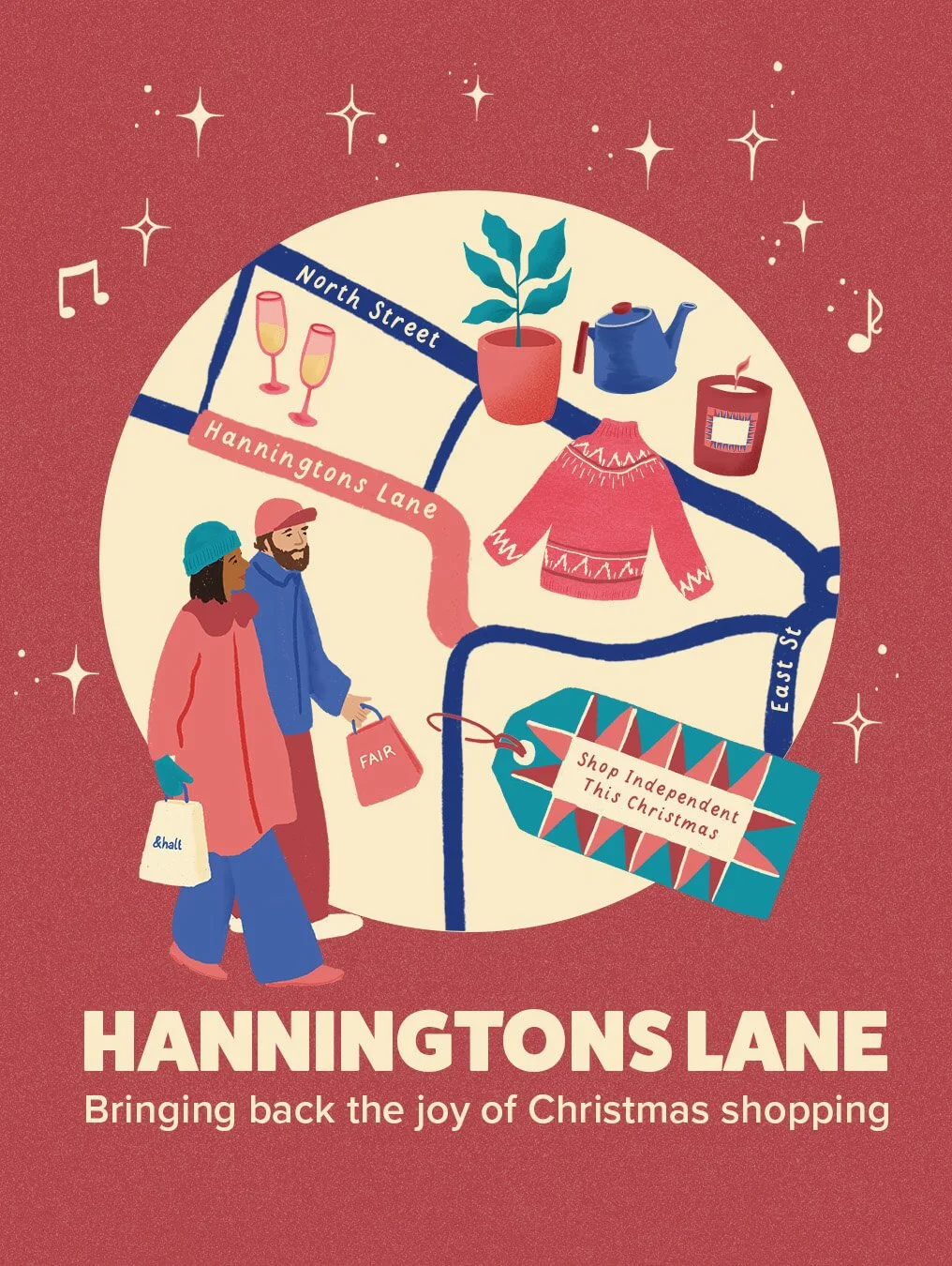
Hanningtons Lane has long been one of Brighton’s best kept shopping secrets. I was commissioned by brand and marketing agency Tide & Bloom to create an illustrated map, along with a wider campaign to increase awareness over the peak festive shopping season. The campaign focused on luring shoppers away from their screen to discover Hanningtons Lane as a destination for independent gift shopping. The hero creative used an illustrated map to pinpoint the Lane’s tucked-away location and its independent shops and gifts, using festive details to create a sense of magic and invitation. The assets were used across social media by the participating retailers, combined with video content, to drive engagement in the lead up to Christmas and increase festive footfall.
Illustrated Maps FAQs
-
Every brief is different, but maps typically include up to 10 individual spot illustrations, with a mix of landmarks, people, and nature to keep the piece visually varied and engaging.
-
Timelines will depend on the complexity of the map. As a rule of thumb, you should expect it to take 6-8 weeks for us to work through the stages from briefing to delivery of final artwork. This also factors in your time to review and feedback at each stage.
-
Absolutely! Spot illustrations created for a map can double up as standalone assets for use on your social media, print, or other marketing materials, getting extra value from a single project. We’ll talk through how you intend to use the artwork at the briefing stage, so we can factor it into your licence.
-
Colour palettes, fonts, and illustration style can all be tailored to sit within your existing brand guidelines, so the map feels like a natural extension of your other marketing materials. If you’re not working with specific brand guidelines, I’ll make recommendations based on what you’re aiming to achieve with the map.
Want to know more about making a map?
You can read all about my step-by-step process on my blog.